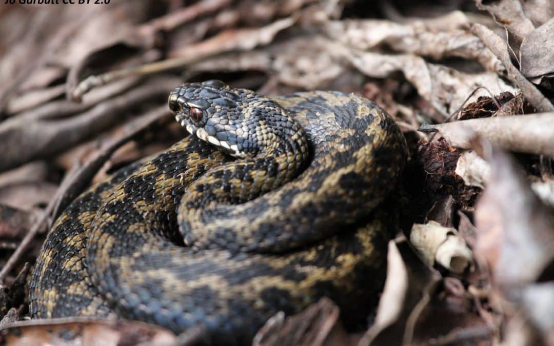
With its wide range of habitats and long history, it is no surprise that the capital is home to many of the UK’s widespread reptile and amphibian species. Wherever you find these animals, it is very likely that you are going to find people interested in helping them…
Show & Tell
Greenspace and Mental Wellbeing
We’ve long known that living or working near greenspaces can help us relax or feel happier, but surprisingly, there has been relatively little research into where greenspaces are most effective for mental wellbeing; most studies to date have been restricted to local areas rather than down to the individual level, or have focused on the measurement of mental ill health. But mental wellbeing is more than just an absence of distress. Mental wellbeing reflects a state of positive mental health from which everyone can benefit…
Show & Tell: The new GiGL habitat database
This summer has been an exciting time for GiGL as we have been working on a brand new habitat database. Our legacy habitat datasets (we’ve never had a habitat database) have served us, our partners and our stakeholders incredibly well but the diversity and coverage of having this new database will provide greater opportunities to better monitor, understand and improve the habitat landscape. It has the potential to revolutionise the ways in which we can study the natural environment in London and we are confident this database will better support both The Mayor’s London Environment Strategy and the delivery of Biodiversity Net Gain. Brace yourselves – here’s everything you need to know about this exciting new project.
Bigger, Greener and more London-y: The relaunch of #GoParksLondon for National Park City
On the 22nd of July 2019 London became the world’s first National Park City; and this celebration of London’s natural environment has sparked a city-wide interest in the capital’s greenspaces. While there is no official change to how London is managed, the National Park City movement aims to shift the mindset of Londoners to a greener, healthier and wilder city…
Show & Tell: Take a look on the wild side – the development of environmental factsheets and their application to the community
Environmental data have always been one of the cornerstones of planning applications and with the increased importance and influence that the living environment has on our city, the drive for a well-informed planning process has only increased…
Show & Tell: SINCs and the City – how nature is protected in the urban landscape
In a rapidly growing city such as London, it is increasingly important to identify, enhance and protect areas that support habitats for wildlife. As well as having socioeconomic benefits, access to wildlife-rich environments have been found to improve people’s happiness and health…
Show & Tell: A deeply rooted dataset – Greater London’s trees on the NBN Atlas
We’ve published our first open (CC-BY) dataset onto the National Biodiversity Network (NBN) Atlas, entitled Greater London Habitat Survey tree data. This comprehensive dataset contains 94,842 tree records across Greater London, with 100% of records having verified identifications…
Show & Tell: Mobilising Paper Records
Every new technology brings with it new advantages and challenges. So it has been in the world of species recording. Phone apps, websites and online recording have allowed a streamlining of the process from observer to database. Records can be uploaded at the click of a button…
Show & Tell: Net Gain for Biodiversity
Achieving biodiversity net gain means that changes brought about by development conclude with biodiversity faring better than it did before works took place. This should ideally be at the same location, but where that is not possible may be achieved by improvements for biodiversity in other locations…
Show & Tell: Goose Count Maps
The Living Wandle Landscape Partnership Scheme has been monitoring Canada goose populations in the Wandle Valley to gain a greater understanding of their numbers and possible effects. With help from volunteers, the partnership have been conducting annual goose counts. For the last two years …
Show & Tell: Species Alert Layers
Approximately 18% of planning applications in London are for sites that are home to, or that potentially affect protected species or habitats. Only 1.2% of planning applicants actually request a GiGL data search to find out if protected species have been recorded within their area of influence. Previous observation …
Show & Tell
Identifying areas of the highest environmental value is useful for many borough planning initiatives. One good way of doing this is by mapping green and ecological corridors. The London Borough of Redbridge approached GiGL in 2014 to discuss modelling green corridors in the borough.
Show & Tell
To encourage idea sharing and inspire new projects, in each GiGLer edition we will be highlighting a couple of examples of how GiGL partners have used their SLAs. Please get in touch if you’d like to discuss utilising any of the services mentioned, or if you have a project using GiGL data that you would like to share.