Chloë Smith, GiGL Partnership Manager
Those involved in environmental and planning policy have been busy lately. The Environment Bill is making its way through parliament and some of the cornerstone pieces of legislation that are set to emerge will have big consequences for how the environmental data sector supports planning and nature recovery work in England. Many of us are working on responses to the Planning for the Future white paper consultation, due shortly.
What is the planning white paper proposing?
Boris Johnson has been vocal about how the country should “build, build, build”[1] in response to economic stresses arising from the coronavirus crisis. But you may have heard outcry from the environmental sector about his suggestion that “newt counting” epitomises the delays and red tape that the new planning reforms should redress.
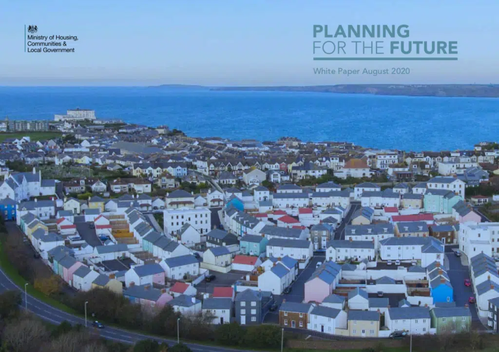
A white paper, Planning for the Future, was launched by the government in August and consultation ends this October. A key stated goal is to speed up the planning system. Under the new reforms the government wants Local Planning Authorities to make Local Plans faster, with planning decisions made faster too. It is proposed that some areas will be designated as suitable for fast-tracked planning approval, with land identified to three categories:
- Growth areas suitable for substantial development, and where outline approval for development would be automatically secured for types of development specified in the Plan;
- Renewal areas suitable for some development, such as gentle densification; and
- Protected areas where development is restricted.
Data needs for emerging policy
Reforms to planning, however they pan out, and ambitions for environmental recovery, require an environmental information infrastructure that is sustainably funded, and systems and skills that get the right data used at the right times. There’s growing recognition that the data should be F.A.I.R. – that is, Findable, Accessible, Interoperable and Reusable – and that the infrastructure should be outcome-led so that information is available to meet identified needs.
Planning for the Future rightly advocates for local and national digitally-enabled data being used to guide Local Plans, starting from an early stage in their development. But there are significant concerns that proposals suggest data might be substituted for field-based site survey at later stages of planning scrutiny and that Growth or Renewal areas might miss checks and protections for unrecorded but biodiverse areas. ‘Front-loading’ planning decisions will rely too heavily on an evidence base without first addressing where there are gaps in data, systems and use.
In July, Environment Secretary George Eustice set out his vision for a green recovery from the coronavirus pandemic[2] in which he said,
“If we are to protect species and habitats and also deliver biodiversity net gain, we need to properly understand the science to inform these crucial decisions. And we should ask ourselves whether the current processes are as effective or efficient as they could be.
Is there sufficient access to data and knowledge to know which species should be assessed? If we had better more up to date data about things such as flood risk, habitats, species, and air quality could we design plans for sustainable new projects and developments more effectively and efficiently than we do now?…”

We know there are a lot of data being well-managed to national and local standards, and available via Local Environmental Records Centre services to inform decisions across the country.[3] GiGL works closely with 27 local planning authorities, the Greater London Authority and Transport for London, enabling those organisations to access local biodiversity and habitat data to inform land use strategy, conservation activities and planning decisions. We also reinvest income to support community involvement in planning and the mobilisation of volunteer recorders’ data into the evidence base. However, as a sector, we know there are things that must improve in order to meet the needs of emerging government policy and reverse the alarming trends in biodiversity loss.
1. Coverage and data flow
The Scottish Biodiversity Information Forum (SBIF) review found that in Scotland there are, “geographic and taxonomic gaps in the availability and currency of data”. This is likely to be similar in England. The 2019 State of Nature report outlined that data from many sources are made available through the National Biodiversity Network’s (NBN) Atlas, which includes nearly 230 million species occurrence records, “however, this is still incomplete, with not all data flowing smoothly from surveys, recording schemes, consultancies, scientists and LERCs to the NBN.” Though there is industry guidance to share data, most records from development surveys don’t become available more widely.
2. Systems and skills
Where an evidence base exists, it needs to be delivered to those who are making decisions and to be interpreted with appropriate expertise. In London, although the Mayor recommends that all major land managers and local authorities should exchange data with GiGL[4], and taking up an SLA supports biodiversity duties, we don’t have complete membership.
In planning departments there can be challenges in accessing and interpreting biodiversity information due to time and skill shortages. We have been working with LPA ecologists and planners to understand the challenges planning departments face in using biodiversity data, and ran a well-attended and well-received training event last month. Findings of our research project, supported by the Mayor of London, show that many London LPAs don’t have an ecologist to support their interpretation of environmental information, though where those staff are in place they are invaluable.
We also know that far from enough development applications in London are supported by a desk-based data study. Research by the Mayor of London in 2016, drawing on GiGL data, concluded that about 18% of planning applications in a one year period in London should have been supported by a biodiversity data search, based on a set of criteria used to assess the potential impacts of the proposed developments on biodiversity. However, it was found that only 1% of applications that were validated were accompanied by a GiGL data search during the same period[5]. So although the systems exist, they aren’t always used.
Most of the records available via the NBN Atlas are not available for commercial use or at resolution suitable for planning decision-making. We are some way off from George Eustice’s wish that, “we want everyone to be able to access an accurate, centralised body of data on species populations so that taking nature into account is the first, speedy step to an application.” Only about 12%[6] of NBN Atlas records are available via an open data licence, so it is vital that planners and strategy makers understand the other routes and licenses for accessing information, that processes take these into account and that we communicate this to policy-makers.
3. Funding and resources
The environmental data sector is presently under-funded. The SBIF review found that, in Scotland, “those involved with the collection, management and sharing of biodiversity data are under-resourced. As a result, they are struggling to maintain the status quo, let alone improve the Infrastructure. This precarious state has been exacerbated by expectations that Open Data should be made freely available and by ever-tightening public funding.” The Association of Local Environmental Records Centres (ALERC) 2015-20 strategy concurs that, “funding from governments to support LERCs is in shorter supply than in previous years, and there is immense pressure on local partnerships to fill the gap in budgets for many of our members.”

What are we doing about it?
As part of the advocacy work we do at a national level, GiGL has been supporting ALERC’s work with Wildlife and Countryside Link (WCL) on this area, highlighting environmental data issues and needs regarding the planning white paper and other key policies, and learning from other WCL members in turn. Being a member of WCL means ALERC can input to government briefings, blogs, meetings and consultations representing the LERC community and environmental data. WCL has published a series of blogs about environmental data, which you can read here.
One area ALERC representation advocates for is the pivotal role of environmental data in meeting ambitions within the DEFRA 25 Year Plan, the Environment Bill and the future of planning. Local Nature Recovery Strategies and Biodiversity Net Gain principles, which are being introduced in the Environment Bill, in particular will require a quality assured, fit-for-purpose evidence base that’s sustainable for the future. And ideally, reformed planning should share the same framework so Plans and decisions are adequately informed and assessed.
Local Nature Recovery Strategies are to be essential spatial and administrative tools for reversing biodiversity decline and enabling more people to connect with nature. GiGL is organising a meeting with stakeholders to discuss Local Nature Recovery Strategies in London. We are also supporting ALERC in advocating for a better, sustainable environmental data infrastructure, required to underpin Local Nature Recovery Strategies, planning and environmental improvement. This would need to address gaps in data coverage, interpretation skills, integrated systems and funding.
Work continues on preparing for mandatory biodiversity net gains from development. Several industry and local authority forerunners are already putting into practice policy and monitoring for biodiversity net gains. You may have read about our work with Transport for London on their developments in this area. GiGL and ALERC have discussed with the British Standards Institute’s biodiversity net gain working group the plans for standards with regards to this process. Internally, we have recently recruited two new database officers so we can push forwards on plans to update habitat data for London within our new database due to the importance of baseline habitat data and the ability to update it for biodiversity net gain.
We are also continuing to develop and advocate for our data search service for ecological consultants and create better documentation about data standards to help with mobilising survey findings. Eleni Foui, our former Planning Research Officer, will be working closely with the team in her new role as Partnership Officer to support our ecology clients and planning partners, and build on the key findings from the Biodiversity Evidence – Better Outcomes from Planning research.
Isn’t it odd that we see, yet again, an assumption that making species records available will suffice. Where survey effort is greatly uneven, as it always is with catch-as-catch can data collection, it’s well-known that there are very many false negatives. The positive records often tell us more about where the expert naturalists have looked than about actual distribution. Some of these gaps can be filled by mathematical extrapolation, but such extrapolation is approximate and cannot be translated down to an individual site. Sites cannot be properly evaluated without even-handed data across all possible places that may be candidates for protection. Professional habitat survey across the map generates information that’s much more even-handed.