At GiGL we always work to improve our services and products to better support our stakeholders. Buglife’s Important Invertebrate Areas and B-Lines were both in our list of future additions to our data search reports, so when Jamie got in touch to discuss the same it was the perfect timing to proceed. It was great working together to add this new section to our data search reports, and we plan to add more strategic areas to the chapter in the future. We hope that this information will empower our professional and community networks to identify and recognise these important areas and make more informed and better decisions to protect them and boost their numbers.
Over the past nine years, Buglife has been busily mapping a network of Important Invertebrate Areas (IIAs) for Great Britain. Each of the 100+ IIAs is home to nationally or internationally important invertebrate populations, featuring habitats from the shoreline, along rivers and to the uplands. Ranging from tiny Lundy Island in the Bristol Channel to some of our most loved landscapes, such as the Cairngorms, Norfolk Coast and Gower Peninsula. This is an ambitious task, but one that is starting to bear fruit, with maps now being used by key decision makers and people who can make a difference for invertebrates.
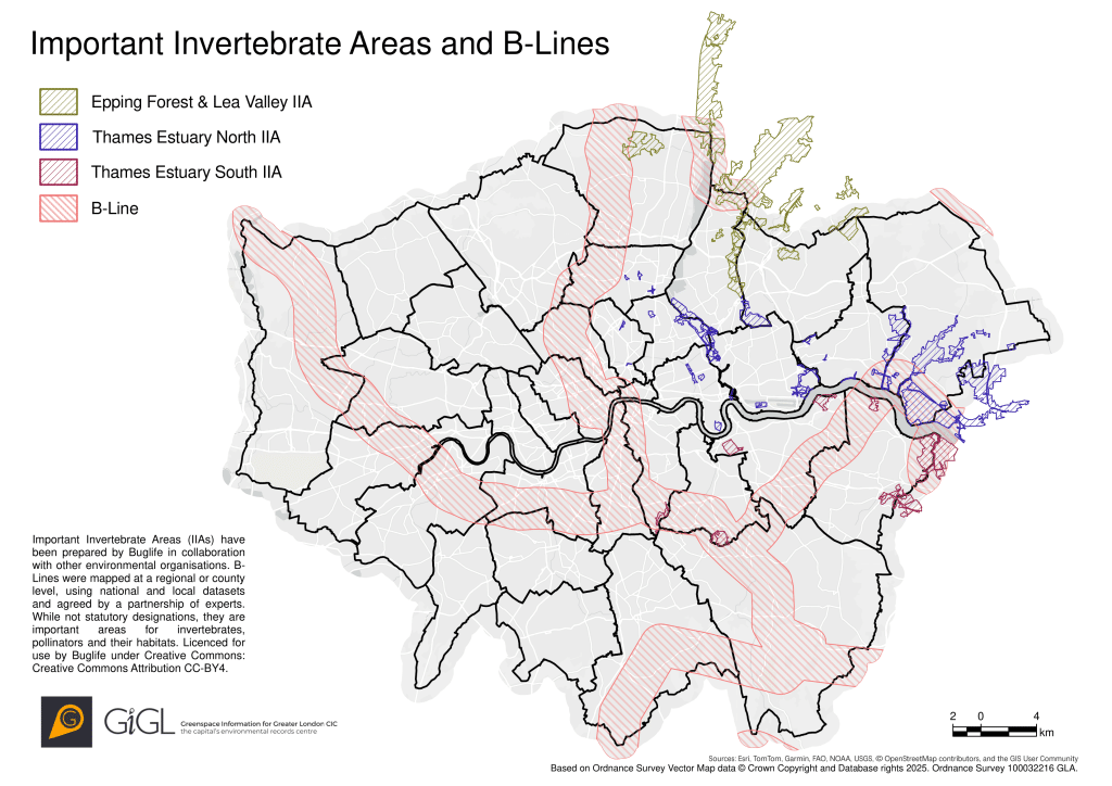
Now IIAs are starting to help support and direct vital invertebrate conservation work in London, thanks to GiGL sharing maps and the IIA profiles that explain and celebrate their interest. There are many IIAs which are wholly or partially within the Greater London area, with new maps and interpretation these are helping decision makers to understand the city’s best sites for invertebrates and their conservation:
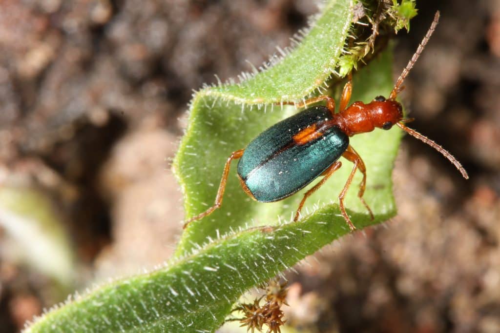
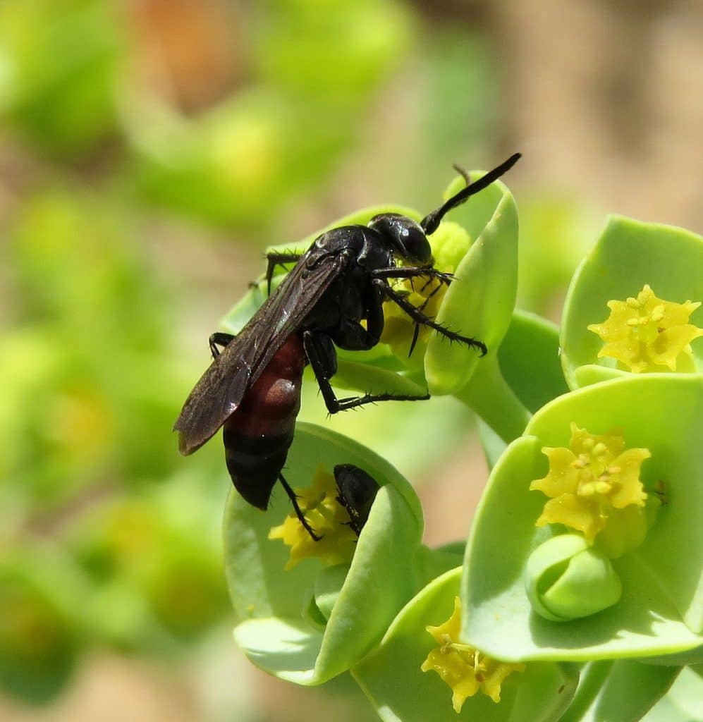
- The Thames Estuary North IIA stretches from Canvey Island in Essex, to London’s Hackney Marshes and urban parks in Islington. It includes iconic sites like RSPB Rainham Marshes, home to the declining shrill carder bee (Bombus sylvarum), the popular Queen Elizabeth Olympic Park where the nationally rare streaked bombardier beetle (Brachinus sclopeta) has been found, and Wanstead Flats. Overall, the IIA is home to over 100 species of conservation concern – including the fantastically named long-combed spider thief wasp (Evagetes pectinipes), the near threatened Mellet’s downy-back beetle (Ophonus melletii) and scarce black mining bee (Andrena nigrospina). It captures everything from grassland, wooded riverside corridors and marshland, to flower-rich brownfields along the Thames and wildlife-rich country parks and urban spaces.
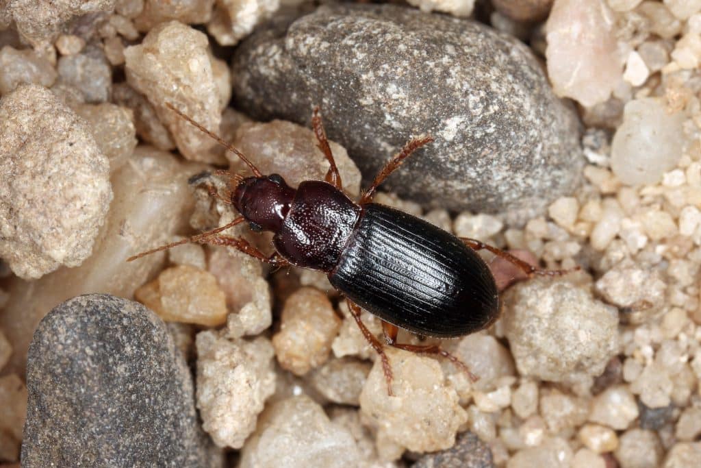
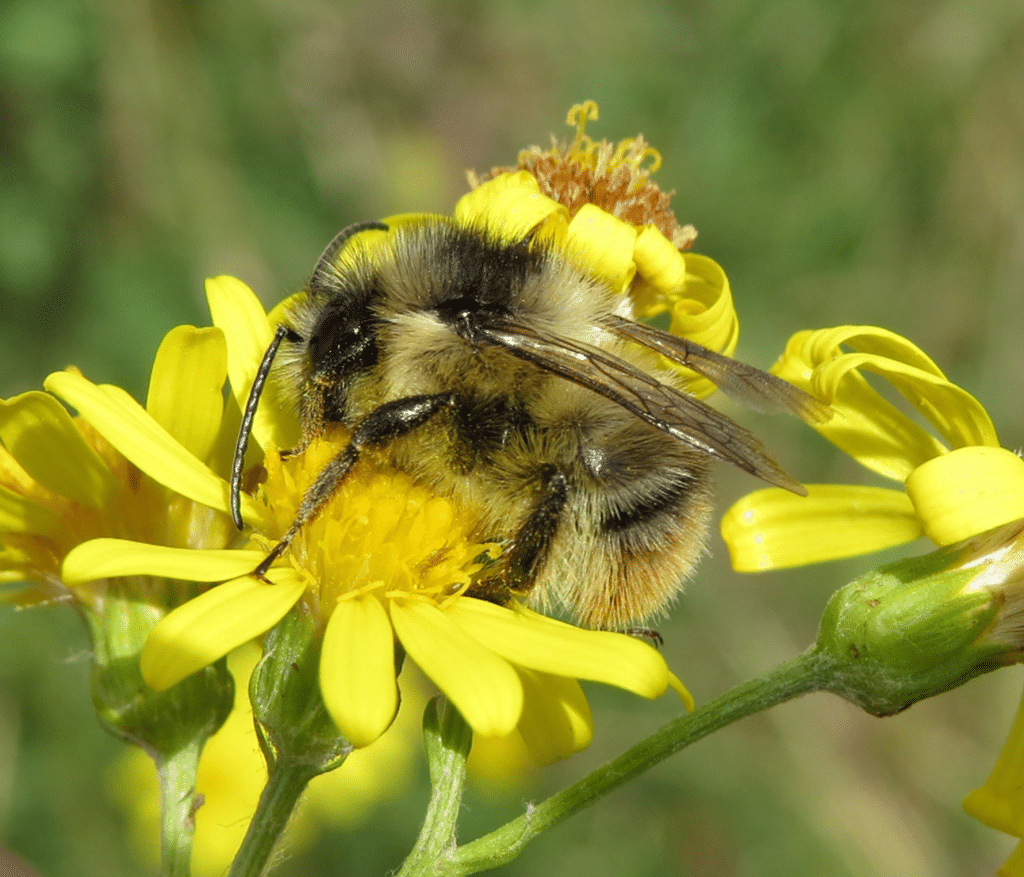
- On the other side of the river, the Thames Estuary South IIA stretches even further – from Faversham in Kent across to Sydenham Hill Wood in Southwark, and Greenwich Park. The Crossness Nature Reserve is home to aquatic insects including the nationally rare water scavenger beetle (Hydrochus ignicollis) and orange-striped water beetle (Graphoderus cinereus). Greenwich Park has a recent record of the stunning vulnerable golden hoverfly (Callicera spinolae), while together with Beckenham Place Park they are home to the critically endangered small-horned walckenaer spider (Walckenaeria corniculans) and rare tree hollow moth (Triaxomasia caprimulgella). Along the Thames, the shrill carder bee relies on the network of large, flower-rich coastal sites.
- The Epping Forest & Lea Valley IIA heads north from the Thames Estuary North IIA and captures the Gunpowder Park and Whitewebbs Park in London, before extending into Essex and Hertfordshire. More information on its habitats and species will be available when the supporting profile is completed.
The coming years will see the continued development of London’s IIAs, as we do the crucial fine-scale mapping for the Thames Basin Lowland, Thames Basin Heath and Woodland and Surrey Hills IIAs. There is much more to do to highlight and stand up for London’s special invertebrates.
Knowing how to support the recovery of species can be challenging as there are simply so many. Thousands of species, each with their own unique needs, make it difficult for decision makers to make the choices that will help them to thrive. To help interpret these IIA maps and lead to better conservation outcomes, Buglife is working on a complete fine-scale map for all of Britain, with profile documents for each to outline what their special invertebrate interest is and how to support its conservation. They will take complex technical information and distil it into easily understandable resources.
Working together, this growing resource of maps and outputs will now be included in GiGL’s outputs to help achieve better decisions and outcomes for wildlife. This would not be possible without the expert knowledge, dedication and guidance of the recording community. For more information on IIAs explore the IIA webpages and webmap.