Ancient Woodland Inventory Update Project
This project started in September 2021 and the final dataset was released by Natural England in September 2025. To find out more about the specific work that GiGL undertook to complete this project, head to the links below or read on for an overview.
Overview
With centuries of continuity on relatively undisturbed soils, ancient woodlands are irreplaceable habitats, important for their wildlife and significant cultural and historical value. Their value is even more pronounced in predominantly urban settings, such as within Greater London, where they provide a key recreational and educational resource while also acting as havens of biodiversity within an increasingly fragmented natural landscape. To ensure that ancient woodlands in Greater London are adequately protected and managed, it is essential that there is an accurate and robust record of their locations.

Natural England currently maintain an Ancient Woodland Inventory (AWI) which identifies and maps the extent of ancient woodland nationally and is available as open data. However, it was first produced in the 1980s, without the benefits of modern technology, and inevitably contains errors and omissions. A particular problem is that small sites (under 2ha) as well as ancient wood-pasture and parklands are underrepresented.
The AWI Update project was set up in 2019 by multiple national partners, including Natural England and the Woodland Trust, and aims to revise the inventory to address problems and gaps within the current dataset, while also helping to ensure that the AWI meets its potential as a key reference tool. For example, it is frequently used within the planning process and is critical for targeted conservation programmes. Importantly, due to technological advances, small ancient woodlands (0.25-2ha) are to be represented within the inventory for the first time. Woodlands under 2ha are particularly relevant to London as small and fragmented sites are a significant component of our landscape’s wooded areas.
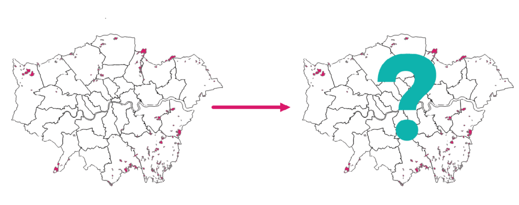
There are currently 343 ancient woodland Greater London sites included in the AWI, covering roughly 2,500 ha. Click here to go to the current spatial dataset that is to be updated as part of this project.
GIGL will deliver, with support from numerous partners, the project to update the AWI within Greater London. We will create a new open AWI GIS dataset that truly represents the extent of ancient woodland within the capital. Throughout the project we aim to communicate with and engage relevant stakeholders to ensure that all ancient woodlands in the capital are recorded. Ultimately, this project will increase our knowledge of Greater London’s remaining ancient woodlands and result in this valuable resource being better appreciated and protected.
Please do not hesitate to contact Frankie our Ancient Woodland Inventory Officer if you have any questions about the project. You can visit our contacts page here.
If you would like to dig deeper into ancient woodland or investigate online mapping resources, the AWI Project Links document contains lots of useful information and suggestions.