A project by the Mayor of London in 2016 found that 18% of planning applications in London should have been supported by a GiGL data search report but only 1% was. Stats published by GiGL since (see the figures in our map), show that these figures are still very low and considerably more planning applications should be supported by a data search report, indicating that potential ecological impacts of planning applications are likely overlooked.
LPAs should have clear requirements for data search reports in their validation checklist or planning application requirements.
Example wording:
- Desk studies of ecology reports and biodiversity net gain (BNG) projects and plans should be informed by an up-to-date data search report by Greenspace Information for Greater London CIC (GiGL), London’s Local Environmental Records Centre (LERC).
Benefits of data and data search reports informing planning applications
- Ecological consultants who consult a data search report have accessed a robust evidence base, have taken into account the local context of a site and have followed best professional practice as set out by the Chartered Institute of Ecology and Environmental Management (CIEEM).
- By consulting the information in a data search report, developers and their consultants access the same evidence base as London’s Local Planning Authorities (LPAs), policy-makers and major landowners.
- LPAs that consult the robust evidence base provided by GiGL fulfil their statutory obligations on the protection and enhancement of biodiversity.
- Many LPAs in London have declared climate and ecological emergencies. Accessing trusted and robust data enables LPAs to make evidence based decisions and focus efforts and funding efficiently.
- Data search reports provide a robust overview of the natural environment of a site and its surrounding areas, both very important for biodiversity net gain and urban greening factor design.
Natural environment data in development management
Based on the results of our “Biodiversity Evidence – Better Outcomes from Planning” project, LPAs are using GiGL data in development management in the following ways:
- to identify ecological constraints,
- to identify presence of protected or priority species,
- to justify when an ecological appraisal is needed,
- to check submitted information,
- to confirm data searches,
- as evidence base when commenting on applications,
- to inform targeted enhancements,
- to inform planning conditions,
- as evidence base when defending planning appeals.
What to look out for
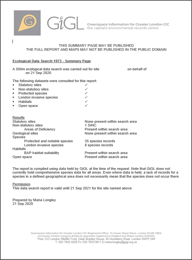
- GiGL’s data search reports are valid for one year, are for internal use and cannot be published or submitted with planning applications and ecology reports. We encourage ecological consultants to summarise key points in their reports. A separate one-page sheet is provided with the data search report that contains a summary of the findings for the search area and this can be published and included in the ecology reports as proof that a data search report has been obtained from GiGL.
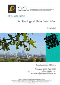
Click on the images below to see an example data search report and an example summary sheet.
- Some of the data in the National Biodiversity Network (NBN) Atlas are not provided at appropriate resolution and/or have licencing restrictions and therefore are not allowed to be used for commercial purposes. Applicants who are using these data without permission have breached the terms and conditions and may face financial penalties. Read more on NBN Atlas’ breach of licence conditions here.
Best practice guidance by the Chartered Institute of Ecology and Environmental Management (CIEEM)
- Guidelines For Accessing, Using and Sharing Biodiversity Data In The UK (October 2023) (link)
- Guidelines for Preliminary Ecological Appraisal (December 2017) (link)
Appendix 2. Desk Studies (p. 14) “In the majority of cases it will be appropriate to also obtain information in the UK from the Local Environmental Records Centre (LERC40); (…); or equivalent on non-statutory designated sites41 and existing records of protected and priority species. In the UK, background data searches will generally not be considered adequate by the Local Planning Authority or other regulatory authority if they rely entirely on open access data, as some of these datasets are not necessarily comprehensive or are not at a fine enough resolution to inform local decisions.”.
Other requirements and recommendations/ references
- National Planning Policy Framework (December 2024) (link)
- Paragraph 44: ‘The right information is crucial to good decision-making, particularly where formal assessments are required …”.
- Paragraph 45: “Local planning authorities should publish a list of their information requirements for applications for planning permission. …”.
- London Plan (2021) (link)
Policy G6 Biodiversity and access to nature – D: “Development proposals should manage impacts on biodiversity and aim to secure net biodiversity gain. This should be informed by the best available ecological information and addressed from the start of the development process.”
- London Local Nature Recovery Strategy – Statement of Biodiversity Priorities (2026) (link)
“Boroughs should use (and require developers to use) GiGL’s data search services.”
- Urban Greening Factor – London Plan Guidance (2023) (link)
Paragraph 2.2.4 in ‘Determining urban greening priorities’: “London’s Local Environmental Records Centre, Greenspace Information for Greater London CIC, can also provide an environmental data search service to help inform the urban greening approach.”
- Defra guidance: Complying with the biodiversity duty (May 2023) (link)
Prepare for biodiversity net gain: “You can get existing local data from Local Environmental Record Centres. If you commission research, you can share that data with them.”
- Geospatial commission’s (May 2021) report
Data Use Recommendations: 13. “Require proponents of development to certify that best available species data through the BDF have been accessed in the preparation of applications where there is risk of impact on biodiversity, potentially through new regulation. This will help ensure that existing and newly collected species data is equally available to project proponents, regulators and evaluators and will support environmental outcomes”. (BDF: Biodiversity Data framework)
- The Wildlife Trusts end of project report on ‘Mobilisation of Local Wildlife Sites’ (August 2025) (link)
“Advocacy for LERC services from Central Government to make the use of services such as data searches, a requirement of the planning process”.
Further reading and resources
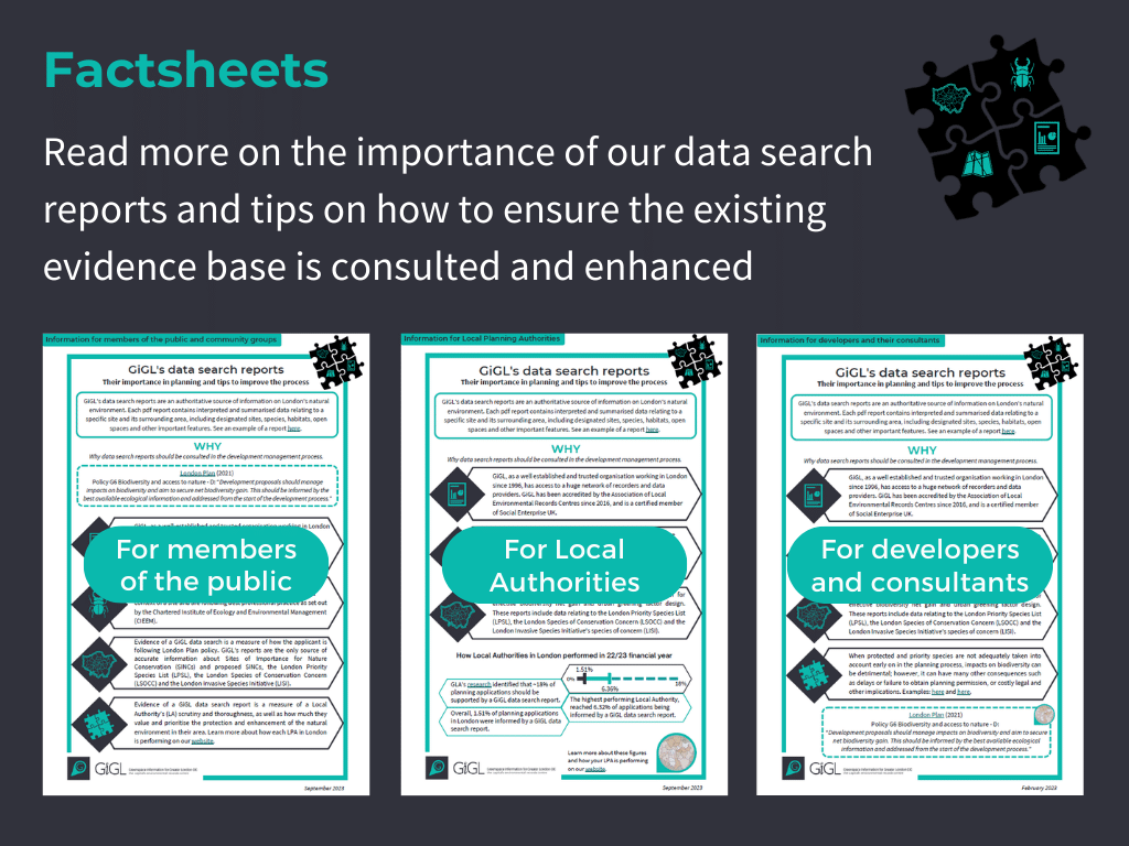
- GiGL’s data search reports factsheet for Local Planning Authorities (updated September 2023)
- GiGL’s data search reports factsheet for developers and their consultants (September 2023)
- GiGL’s data search reports factsheet for members of the public (September 2023)