AWI Update Methodology
This project follows a consistent and quality-controlled methodology set out by Natural England and will involve the completion of five methodological phases that will utilise desk-based mapping, historical documents research and field surveys.
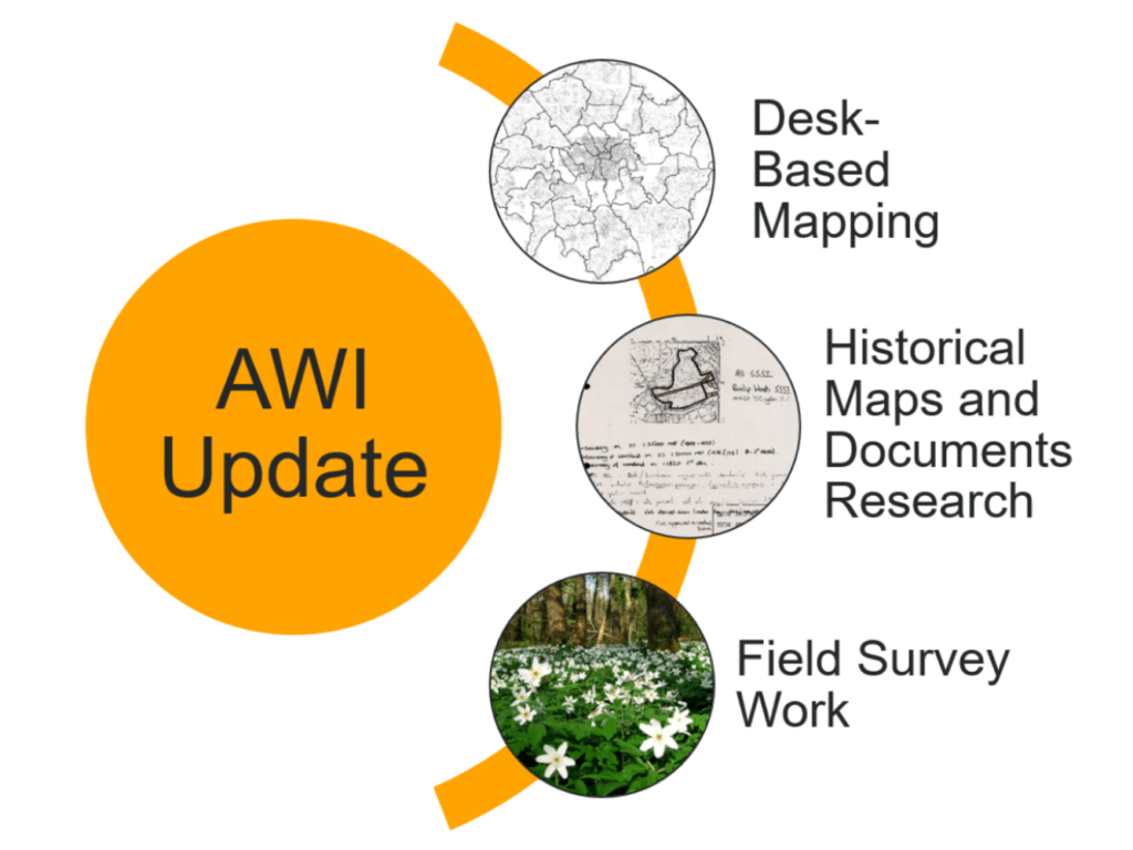
AWI Update methodology. From top to bottom:
© Crown copyright and Landmark Information Group Ltd. All rights reserved 2021.
Example record card for Park Wood, Ruislip Woods, Hillingdon. For more information click here.
Wood Anemone in Selsdon Wood, Croydon © Mathew Frith.
- Phase 1 of the project involves identifying sites of long-established, and therefore potentially ancient, woodland. This involves the comparison of where woodland is present in modern aerial photographs and 1st Edition Ordnance Survey maps from the mid1800s. This comparison will take place on a grid square by grid square basis across the whole of Greater London.


- Phase 2 will cross-reference sites identified as potentially ancient in Phase 1 with sites identified as ancient in the current ancient woodland inventory.
- Phase 3 is the most in-depth of the phases and will employ various historical mapped data sources to expand the chronological span of the data used and enrich the evidence base for each candidate site. This is also the phase that includes the woodland survey programme. We have been fortunate enough to receive the help of a group of fantastic volunteers, please see this GiGLer article to find out more.
- Phase 4 involves evaluating all gathered evidence and deciding the status of a site – for example if it should be categorised as either ancient semi-natural woodland or plantations on ancient woodland sites.
- Phase 5 involves submitting both a long-established woodland dataset and a provisional updated ancient woodland dataset to Natural England. It will also include writing a project report.
The project is currently part way through Phase 4 of the Update.