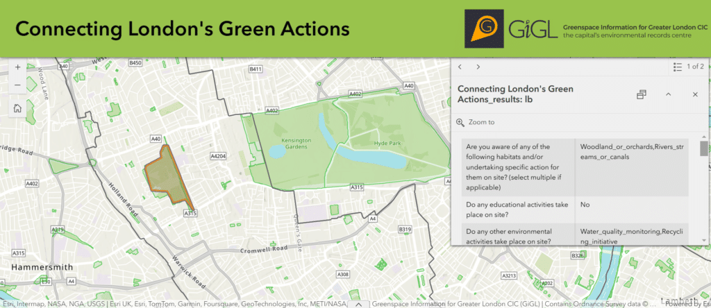
Widescale nature recovery across the nature-depleted UK is dependent upon improving, joining-up and expanding habitats across the country’s landscapes. London’s urban ecology poses the extra challenge of connecting diverse, fragmented habitats across complex land management and ownership conflicts. The many private and small-scale initiatives which occur across London in small pocket reservoirs across the city are crucial stepping stones for wildlife across the urban landscape. Small refugia, the absence of which might otherwise prevent the migration and sustenance of some of our beloved species.
GiGL have launched the ‘Connecting London’s Green Actions’ map to help members of London’s Ecological Network to share the specific knowledge, skills and resources needed to expand, improve and monitor natural corridors across the city.

By sharing where for example, your group runs a regular bird transect or the location of a new wildlife pond, the fragmented mosaic habitats of London can be connected. Find new volunteers, discover your new favourite pocket of nature and link with like-minded groups using the Connecting London’s Green Actions map.
- Explore initiatives around you using the map.
- Add your site to the map by completing this short survey.
- View instructions on adding sites or actions to the map here.
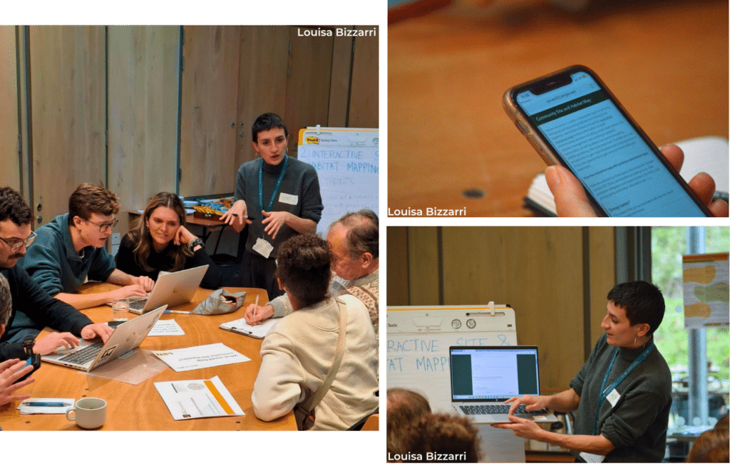
The concept for this originated in the ‘Interactive Habitat and Site Mapping’ workshop at GiGL’s London Day of Nature 2024 (LDN24) event in October, to help connect specific habitat actions and practitioners across park, ward and borough boundaries.

Workshoppers at LDN24 they also shared their dream environmental site actions and the barriers to making projects happen. By using the interactive map, users can also identify geographic and taxon-specific project gaps across London and help overcome any barriers resulting to their absence.
Read more about London Day of Nature 2024 in our two recap GiGLer articles: LDN Part 1 and Part 2.
GiGL will moderate and will remove duplicate sites or will review conflicting information on a quarterly basis, but to reduce moderation needs, please ensure the following:
- Sites added are smaller than at least ¼ of a London Borough.
- No protected species details are shared on the map. These will be removed immediately.
- Actions like ‘litter picks occurring at a specific location’ are included.
- Only general links for social media/websites can be added, no personal details.
- Only a single polygon is uploaded per group.
- No ‘point sites’ are added to the map e.g. single bird box.
- All sites added must be communally or voluntarily managed in some capacity.
- Private organisations working in isolation for profit cannot add individual entries unless they are tied to a particular site and incorporate voluntary activities into their work.
- Do not share any personal details such as names, home addresses etc.
- Do not add private gardens unless they are publicly managed in some capacity by volunteers.
- Do not add the locations of any school-based activities.
View other GiGL mapping services like the Spaces to Visit baselayer on Discover London Platform here.
