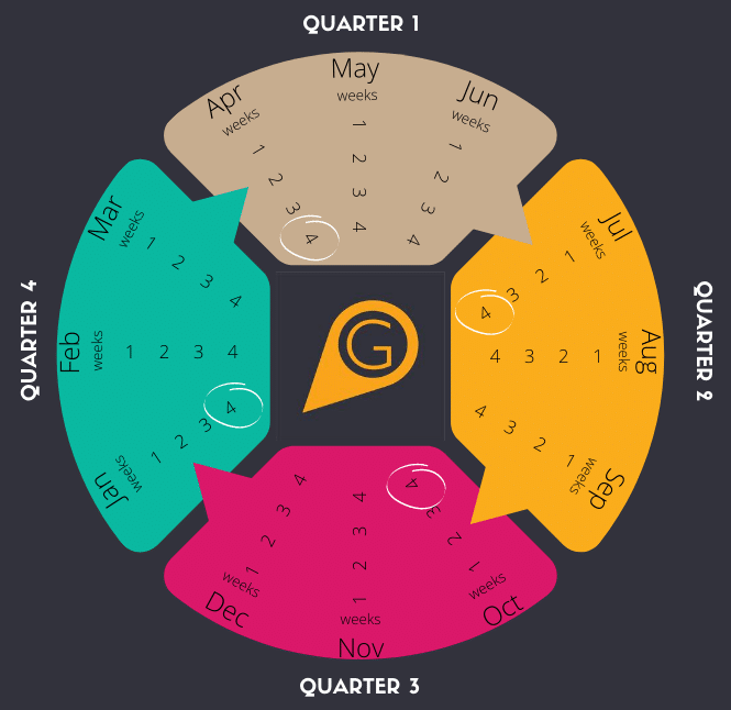
What is the GiGL data exchange? Curating the GiGL database is a continuous process. We receive new wildlife data from recorders across London, new site surveys occur and result in updated habitat data or new sites designations, and we’re continually working with our...
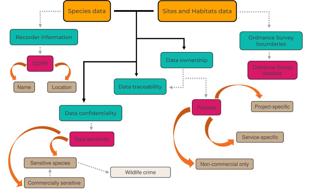
Emma Knowles, GiGL Partnership Officer What is a Data Use Licence? A Data Use Licence sets out the terms and conditions that apply to use of specified data and provides evidence that data recipients agree to these terms. Individuals and organisations who generate and...
Emma Knowles, GiGL Partnership Officer This book is, more or less, what it says on the cover, an A to Z of London’s Gardens, but with various quirks. As well as listing the gardens that you would expect to find – the sort that would appear as individual sites in our...
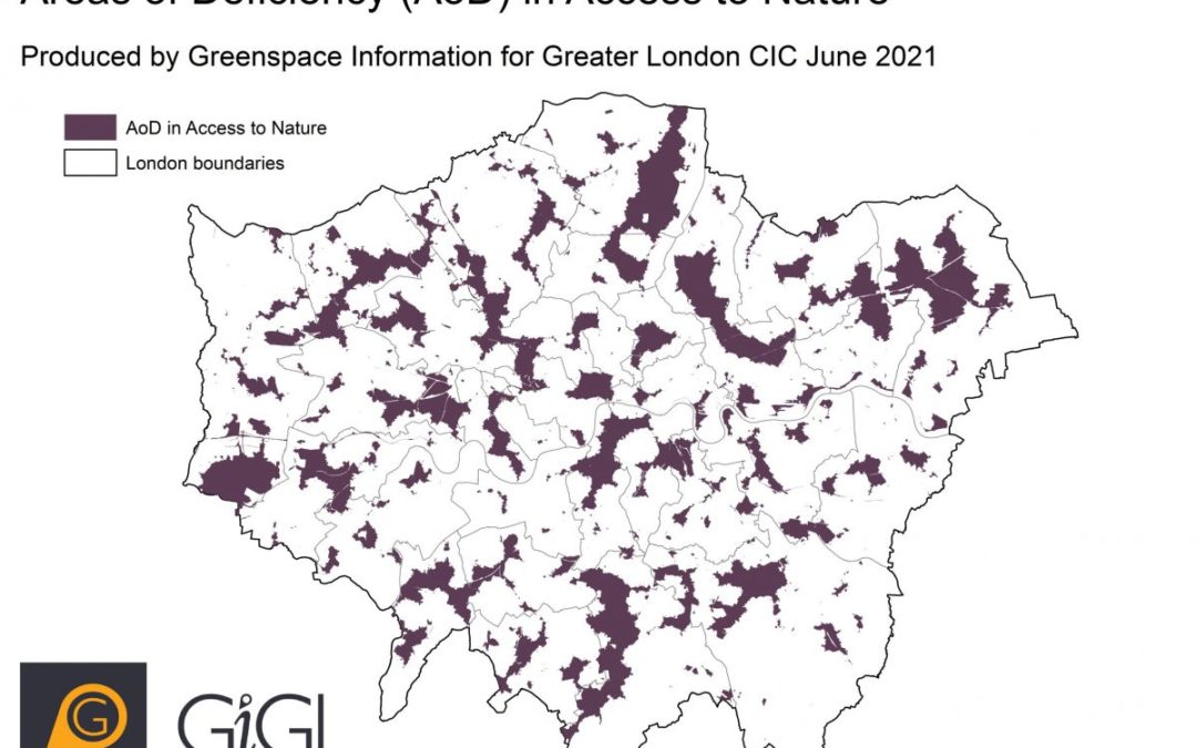
Emma Knowles, GiGL Partnership Officer What is AoD? Areas of Deficiency (AoD) are areas outside of a specified walking distance from open spaces that meet particular criteria. GiGL have two AoD datasets: Areas of Deficiency in Access to Nature and Areas of Deficiency...
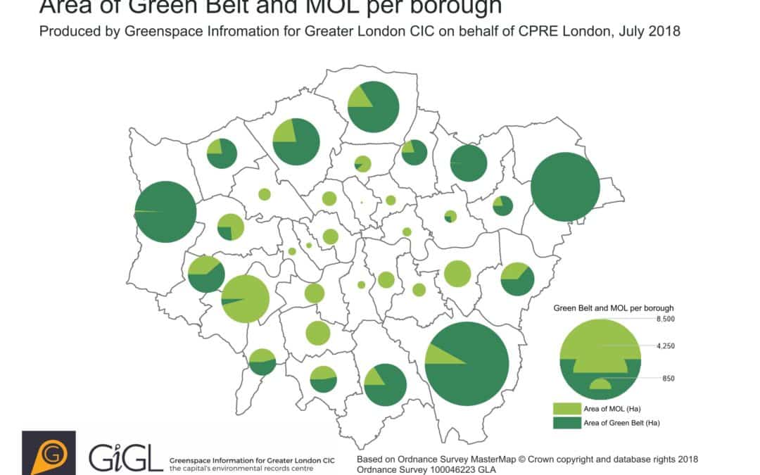
Emma Knowles, GiGL Partnership Officer CPRE London have recently published a report on London’s Green Belt and Metropolitan Open Land (MOL), for which GiGL provided our expertise, including data analysis, visualisations and maps. The report aims to raise awareness of...