This long stretch of the River Rom flows from the borough boundary with Essex down to Cross Road, about a kilometre short of where the river crosses beneath the A12. Along the route habitats include rough grassland with hedgerows, scrub and scattered trees, with a few larger areas of woodland. At the southern end of the site is a flood storage lagoon. There is public access from Cornell Way southwards, along the western bank of the river. There is a small school nature area alongside the river here used for environmental education. Further north, a number of footpaths cross or run alongside the site.
Local Wildlife Site
Accessible Sites of Importance for Nature Conservation
River Rom in North-west Havering
Borough: Havering
Grade: Borough Grade II
Access: Free public access (part of site)
Area: 24.64 ha
Description
Wildlife
The river channel contains both branched and unbranched bur-reeds, and fool's watercress. The river supports water voles, as well as breeding kingfisher and reed bunting. The surrounding land is a mosaic of rough grassland with hedgerows, scrub and scattered trees. There are also a few larger areas of woodland.The largest of these is Foreberry Wood, which is probably ancient. It is dominated by pedunculate oak with outgrown hornbeam coppice and occasional ash. The shrub layer contains abundant elm, frequent hawthorn and occasional hazel, blackthorn and holly. At ground-level there is abundant bramble and ivy, with greater stitchwort and bluebell occurring more locally. The substantial amount of dead wood and the large number of big, mature oaks with abundant ivy are of value to woodland birds and insects.The surrounding farmland supports breeding skylarks and possibly barn owl. Large flocks of lapwing and golden plover occur in winter.Facilities
No information available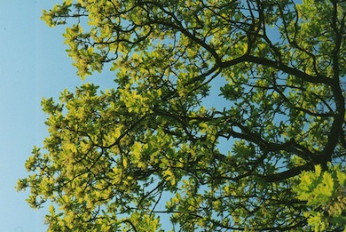
Oak leaves in spring © Mike Waite
Feedback
Have a question or a comment for this site, or notice anything missing or out of date? Please contact us.