This site is made up of Carter’s Brook in the north of the site, Paine’s Brook in the south, and associated open and wooded areas including Paine’s Park. The London LOOP follows much of the site.
Local Wildlife Site
Accessible Sites of Importance for Nature Conservation
Carter's Brook and Paine's Brook
Borough: Havering
Grade: Borough Grade II
Access: Free public access (all/most of site)
Area: 12.23 ha
Description
Wildlife
Carter's Brook follows a natural, meandering course over a gravel bed. It is lined with oak and hornbeam woodland, with some large specimens of hornbeam and field maple. The shrub layer is most diverse in the north of the site where there is abundant dogwood, hazel and dog rose. At ground-level plants include bluebell, dog's mercury, false brome, greater stitchwort and wood speedwell. There are large areas of blackthorn scrub at various points along its course. Paine's Brook appears more affected by straightening and deepening, but contains areas of similar vegetation as well as some large nettle beds. Paine's Park has a small area of wet grassland with tufted hair-grass and common knapweed, which is managed for nature conservation, as well as some scattered veteran oaks. The park also includes an area of scrub with open areas of tall herbs and grassland. Some of the closely-mown grassland north of Whitchurch Road appears to moderately herb rich with autumn hawkbit, bird's-foot-trefoil, selfheal and probably cuckooflower. The sward is dominated by common bent, crested dog's-tail, smaller cat's-tail and rye-grass. The whole site forms part of an important wildlife corridor through the north of the borough of possible value to bats, while scrub and old trees will be valuable for birds and insects. The stream may be used by water voles, though there is very heavy recreational use of the sloping, wooded banks.Facilities
Walking route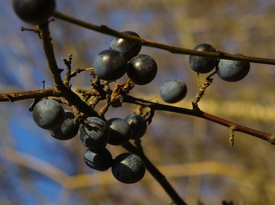
Sloe berries © Mike Waite
Feedback
Have a question or a comment for this site, or notice anything missing or out of date? Please contact us.