Development management includes planning for the enhancement and protection of our built, historic and natural environment.
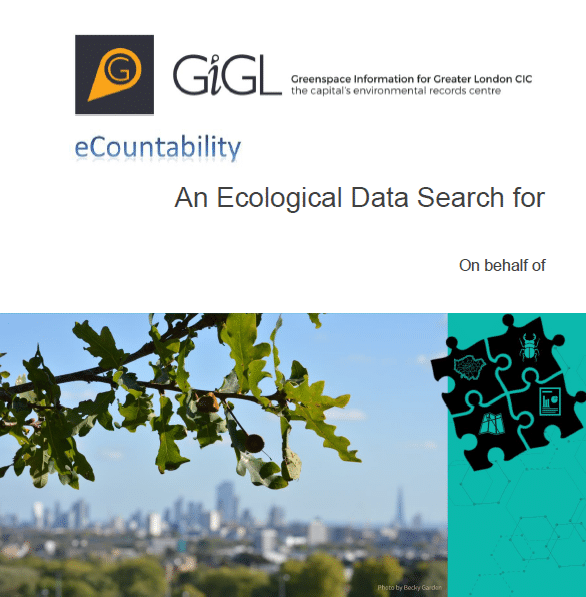
The Mayor’s London Plan, the spatial development strategy for the city, highlights that ‘Development proposals should manage impacts on biodiversity and aim to secure net biodiversity gain. This should be informed by the best available ecological information and addressed from the start of the development process’. In order to deliver this, the development needs to be informed early on by the baseline natural environment data that is available. This can then be added to in the future, from detailed surveys where necessary. This baseline natural environment data is what GiGL provides in our Data Search Reports.
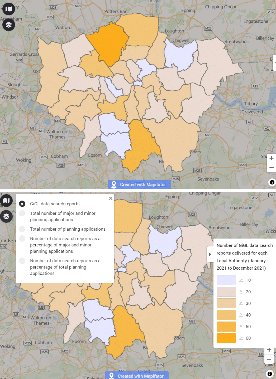
Research by the Greater London Authority in 2016 concluded that approximately 18% of planning applications ought to have been informed by a GiGL data search, based on analysis using the criteria set out on the standard application form. Currently, GiGL provides reports to inform on average about 1.45% of applications made. Learn more about the percentage of planning applications within each borough that commisioned a data search report from GiGL, to inform their development, here.
Click on the images below to visit each subpage.
Borough Planning Stats
Summary statistics on natural environment data for each London borough
Data Searches and Planning
Figures on planning applications informed by GiGL data search reports.

Planning Policy
Information on National, Regional and Local planning policy
Natural Environment Data in Planning
Information on natural environment data informing the development management process.
Data Sharing from Development
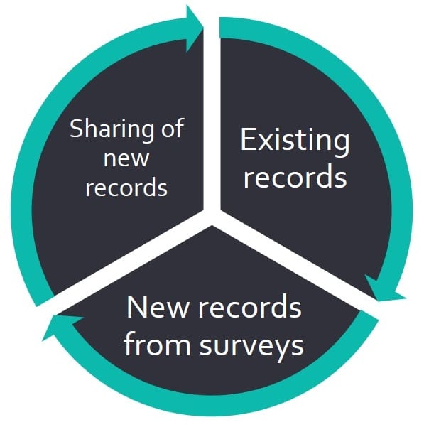
Information on how the planning process can enhance the existing evidence base in order to enable better decisions in the future

Biodiversity Net Gain
Read what GiGL has been doing to prepare for BNG and our plans for the future.
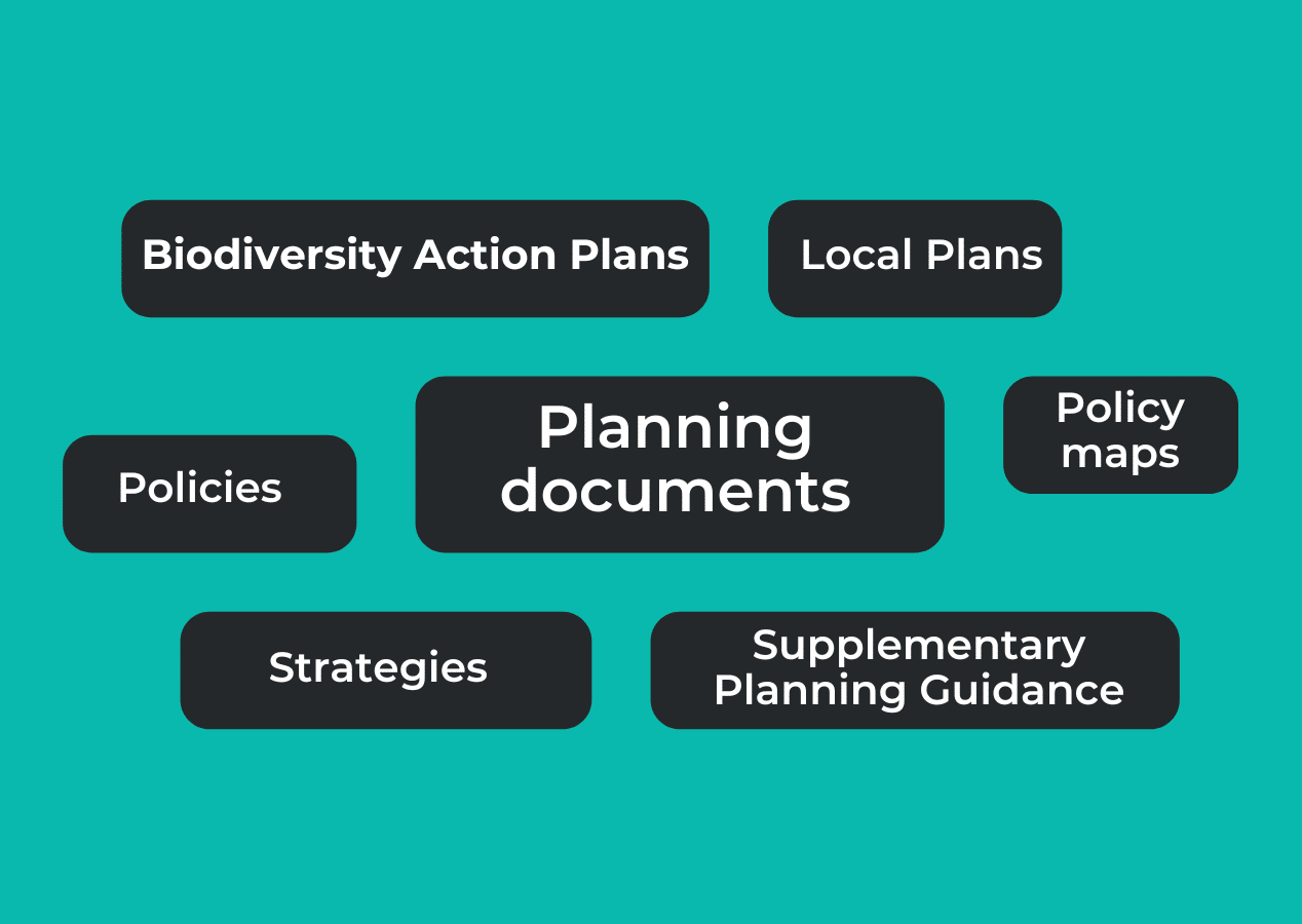
Planning Authority documents
A compilation of planning documents for each Local Authority in London
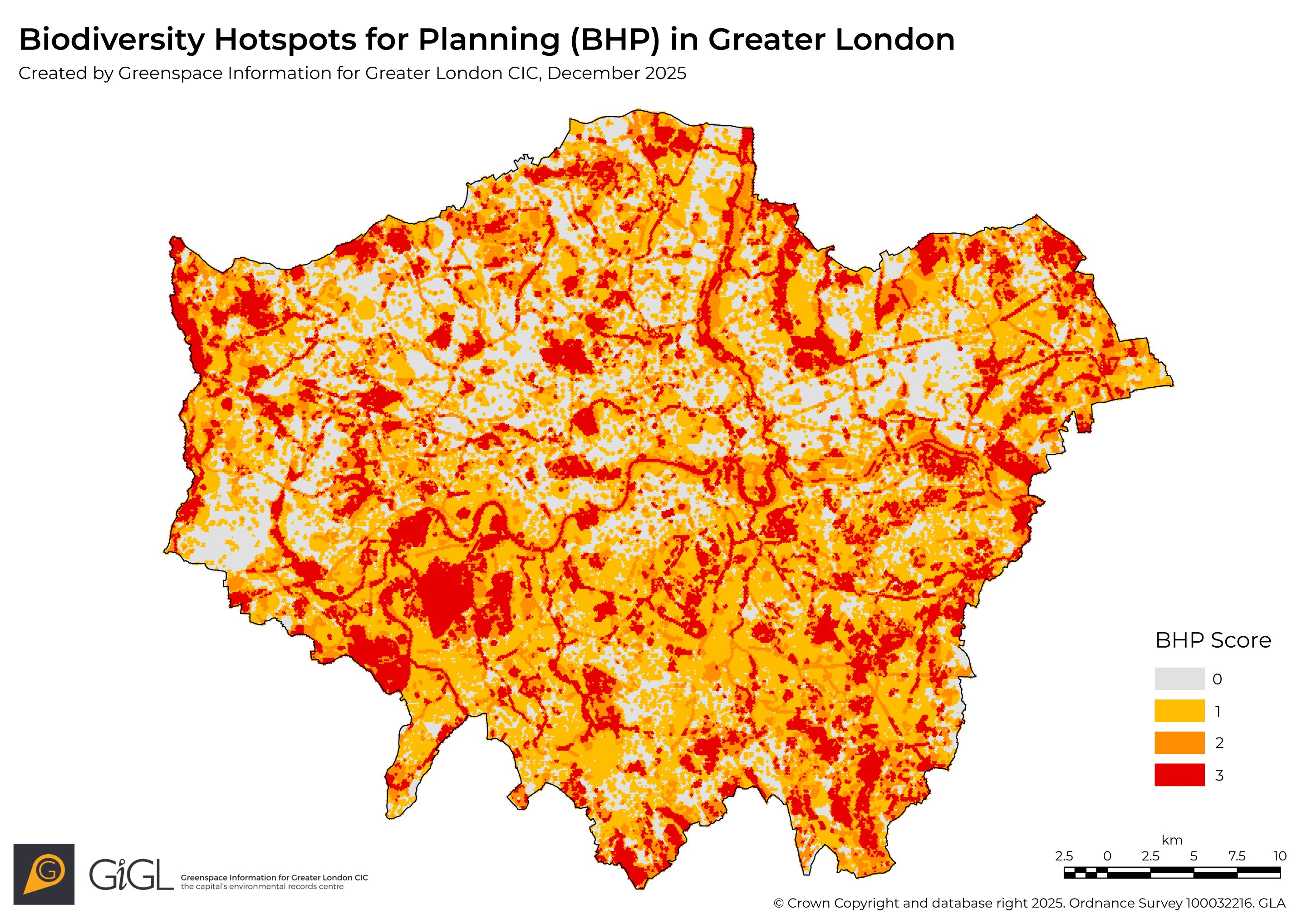
Biodiversity Hotspots for Planning
Information on the BHP dataset that provides an indication of areas that have potential impacts on biodiversity.
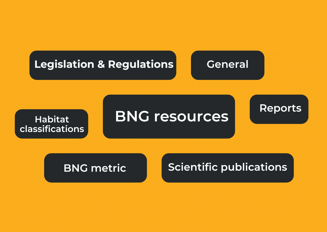
Biodiversity Net Gain Resources
A compilation of useful and important documents to help inform and exemplify BNG.
GiGL data and the planning application process
Most major developments or alterations to land use and buildings require planning permission. The decision making process for applications is handled by local authorities working within the context of framework set out by national and regional government.
GiGL data can be informative at various points during the process.
- When drawing up and submitting an application, GiGL data search reports support the appraisal of existing environmental information. This information can inform necessary surveys and development plans. Environmental consultants, employed to assess and advise developers on environmental impacts of proposals, can access relevant data via the GiGL data search service.
- Local authority consideration of applications and decision-making can be informed by professional interpretation of available environmental data from GiGL. Most of London’s local authorities are GiGL partners and therefore staff are delivered updates of our datasets and can make requests for tailored information (non-partners can access data as a client).
- The public are encouraged to play an active part in the planning system at local plan and planning application consultations. Interested local residents can also access a data search from GiGL for an area that is under planning consideration.
- At determination of the planning application, best practice ensures delivery of any new environmental data generated as part of the process to the local environmental records centre, to keep records up to date. This practice is in line with CIEEM codes of conduct and can even be enforced via the local planning conditions.
Many of the datasets GiGL manage inform the planning process. Protected and notable species observations and designated sites information provide baseline data to consult as part of local decision making. These and other datasets can also feed into strategic planning at the landscape level.
The Biodiversity Hotspots for Planning (BHP) dataset provides developers, homeowners and LPAs an indication of areas, where data are available, that have potential impacts on biodiversity and are likely to be relevant to local planning decisions by applying biodiversity criteria based on the original “Planning for Biodiversity?” research. ‘Hotspot’ areas indicate a detected presence of sensitive biodiversity that could potentially be affected by development. Original records can be accessed from GiGL to assist the decision-making process.