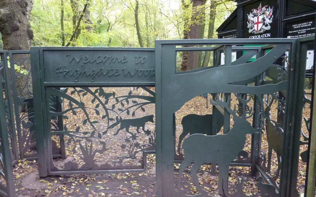
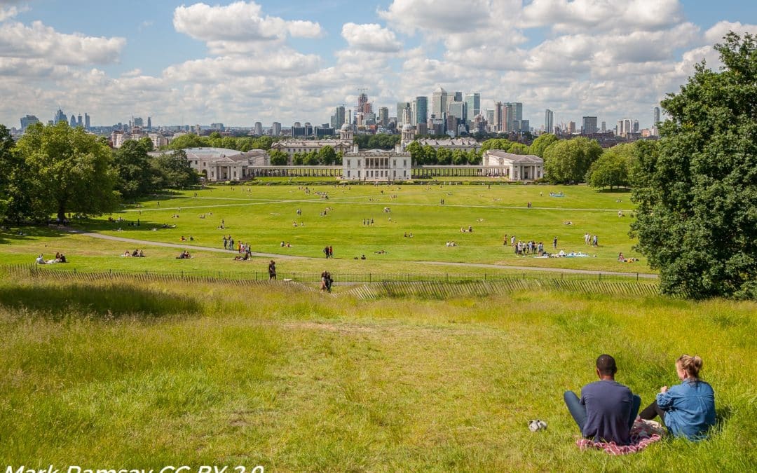
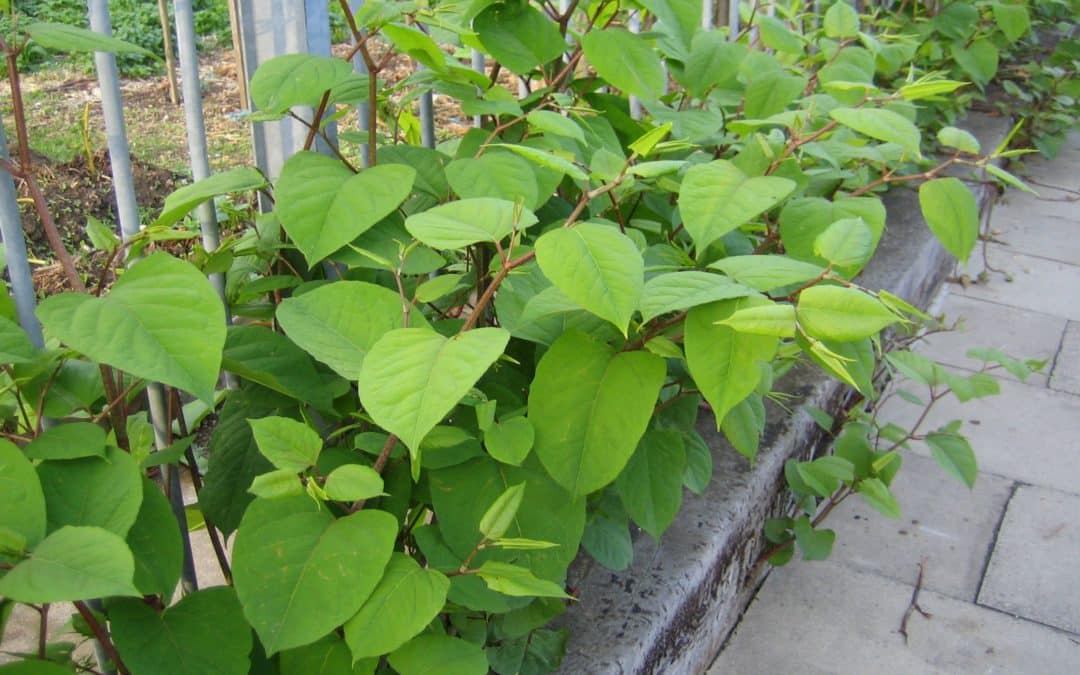
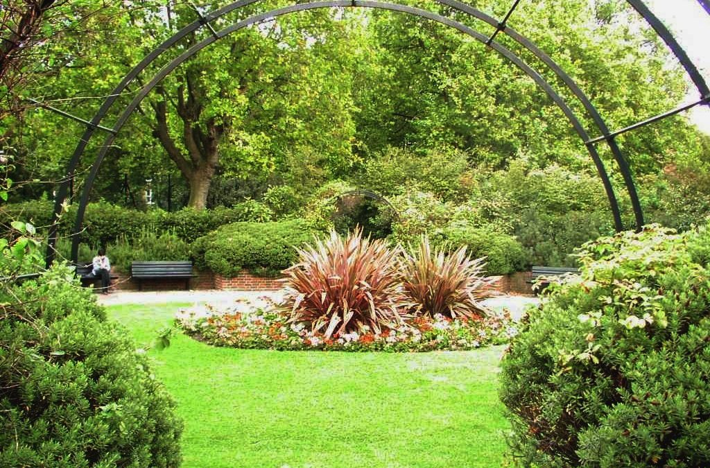
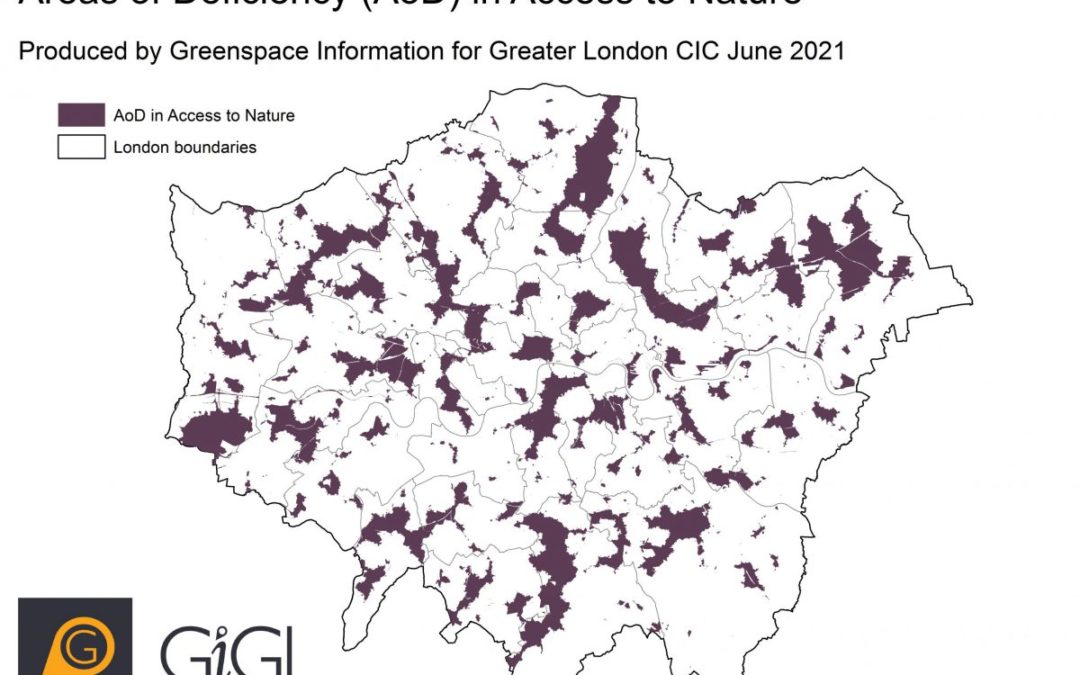
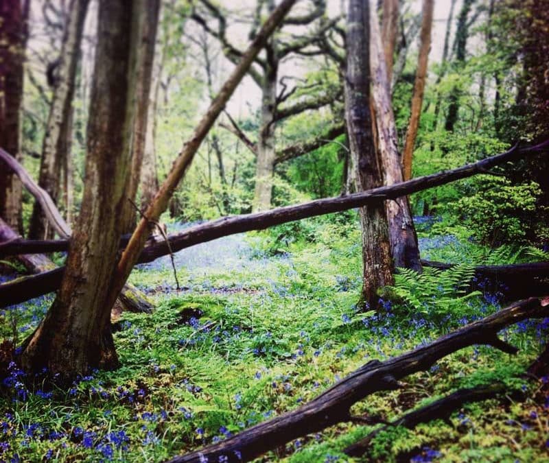
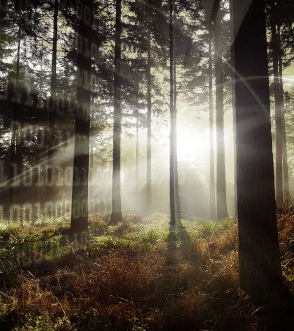
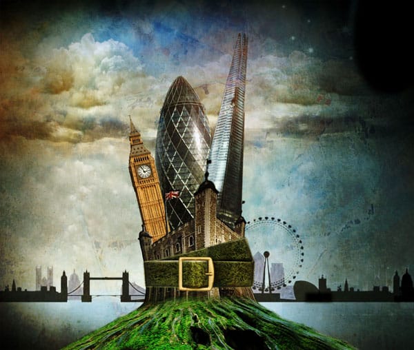
From swathes of grassland and woodland in parks and nature reserves to tiny mosaics of vegetation on derelict land, London is a complex patchwork of different habitats. At GiGL we are working hard to prepare our habitat data for mandatory Biodiversity Net Gain (BNG) this winter …
Data Overview
Introducing GiGL’s new POSAoD maps
In June 2021, GiGL’s Database Officer Amy introduced you to the updates we’ve been making to our Areas of Deficiency (AoD) models, starting with Areas of Deficiency in Access to Nature (SINCAoD). Now it is the turn of GiGL’s Areas of Deficiency in Access to Public Open Space (POSAoD) maps, which will be released to our SLA partners in April as part of GiGL’s Data Exchange.
GiGL’s Spaces to Visit dataset
… as part of GiGL’s commitment to provide a benefit to our community we created the Spaces to Visit dataset in April 2020. This is a subset of GiGL’s Open Space dataset that provides a source of information on the locations of open spaces in Greater London that are available to the public as destinations for leisure, activities and community engagement. It also includes green corridors that provide opportunities for walking and cycling …
Japanese Knotweed in the UK and London
Japanese Knotweed is one of a number of invasive species affecting wide swathes of the UK. It is known to displace and ‘crowd out’ native vegetation with its aggressive growth and can easily spread through fragments of rhizome, which often find their way into streams and other waterways. Once established, the plant is incredibly resilient and very difficult to remove completely …
Updating London’s Areas of Deficiency
Since the start of 2021, the GiGL team have been hard at work updating and improving our Areas of Deficiency (AoD) models. We’re excited to announce that these are nearly ready for launch, and we can’t wait to share the new features we can offer to our partners and clients.Although the concepts behind AoD are quite simple, the modelling itself is anything but. This article will explain what AoD is, the changes we’ve made and what this means for our services going forward…
It takes a team to create a report
GiGL’s flagship report, the ecological desktop study, presents a snapshot of the GiGL Partnership’s knowledge of a site or an area. The report is the culmination of a lot of time and effort to collate information about the whole of London; so we wanted to lift the lid on the process of what goes into creating this report…
Did you know: Areas of Deficiency (AoD)
Areas of Deficiency (AoD) are areas outside of a specified walking distance from open spaces that meet particular criteria. GiGL have two AoD datasets: Areas of Deficiency in Access to Nature and Areas of Deficiency in access to Public Open Space.
Privately Owned Public Spaces
Greater London is endowed with some fantastic public open spaces. However, with over eight million residents enjoying the city’s amenities, as well as the huge influx of tourists for whom our green spaces form part of the lure, …
Show & Tell: Tailored Geology Maps
“Environmental data” is a catchall phrase that encompasses a huge range of possibilities. While GiGL’s best-known datasets are our partnership’s biodiversity and open spaces data, we also have access to a range of additional environmental …
Living History
In 2011, I wrote about my involvement with the ornithology records of the London Natural History Society, noting that I had first crossed their path some twenty years before that. Five years on, the nature of the project has changed, but much of the original challenge remains. I had seen my role, offering services to GiGL to process some old data, as not too demanding. However, when space in the Union …
Sharing is Caring
CIEEM requires its members to share data with records centres. Yet in many cases this is not happening. Should ecologists, developers or records centres be concerned? A group of Build UK members teamed up with GiGL, ALERC, and The Ecology Consultancy to investigate why more wildlife information is not currently being shared, and to find a solution.
Masses of moths
GiGL currently holds nearly 2.8 million species records. Whilst I can’t claim to have input all of those records myself, I can lay claim to just over 1.5 million.
In recent years, the greatest number of records has come to GiGL as large datasets from established recording schemes such as the London Natural History Society.
What’s in a name?
London’s open spaces weave through housing estates; grand London plane trees overhang busy roads; and gulls settle in wet patches of local football fields. iGiGL is a great tool for a little armchair sightseeing of the 47% of Greater London that is green.Clicking on the intriguing shapes that outline London’s parks and open spaces will bring back a wealth of information on site uses and facilities, a description of the wildlife or habitats, and snippets of local interest or history.
Re-introducing GiGL’s Datasets
GiGL’s datasets have changed a lot over the last few years. We are providing more types of data and more data products than ever before. Even our standard GiGL datasets have had an overhaul. After all these changes, our data guide has been treated to a face lift too [link to new data guide]. Here’s a quick summary of some of the main changes to our datasets.
London Sets a Trend
London has a trend-setting framework for protecting and enhancing biodiversity. The Mayor’s Biodiversity Strategy has two main themes: protecting important wildlife habitat and priority species, and improving access to nature. These two themes are reflected in the strategy’s two main targets.
Accessing Wildspace
Maps of Areas of Deficiency for nature (AOD) appeared in all the borough handbooks produced by the London Ecology Unit during its lifetime, from 1986 to 2000. The aim was to show where people had to walk more than one kilometre to reach an accessible wildlife Site of Metropolitan or Borough Importance.
Rivers of Data
We always knew that iGiGL, our new online mapping interface, had great potential. Its value in allowing users to access our data without the need for desktop mapping software has already been recognised by Natural England and the Environment Agency. For no sooner had we launched iGiGL than they approached us about the possibility of extending its functionality.
Tighten our Green Belts
Since the 1950s, London’s green belt and metropolitan open land designations have been instrumental in protecting open space across the capital. However, London-wide datasets for these two designations are not currently widely accessible and those that exist do not accurately reflect the current site boundaries as designated by London boroughs.
Street Trees
In the winter of 2008, we discussed how GiGL had been commissioned by the Capital Woodlands Project to help identify areas of London lacking street trees. In this article, we return to the subject but take a broader look at street trees in London and at aspects of street tree data management. The London Assembly’s 2007 report, Chainsaw Massacre, highlighted ‘the unfortunate practice of removing broadleaf trees to avoid subsidence damage claims’. At the same time, they found that ‘Londoners value the shade and cooling that urban street trees offer in the summer, how they improve street environments and reduce noise and dust from road traffic [and] crucially, how they also mop up carbon emissions’.
Connecting London’s Amphibian and Reptile Environments (CLARE)
CLARE is an exciting new partnership project between Amphibian and Reptile Conservation, the London Wildlife Trust, GiGL and London’s Amphibian and Reptile Group. With support from the Heritage Lottery Fund the project aims to raise awareness and understanding of...
Dragon Finder
A new Froglife project to provide GiGL with much-needed information on amphibian and reptile populations in London, and to raise the profile of these important species has received a grant from the Heritage Lottery Fund. The five-year project is called Dragon Finder...
Spaced Out
Along with providing information on species and habitats, GiGL also holds a great deal of information on Greater London’s open spaces.
We are currently working to enhance the coverage, quality and quantity of open space information available and produce a comprehensive …
Park it
The Royal Parks cover approximately 5,000 acres, making an enormously important contribution to open space and wildlife habitats in the capital.
Such a wide area means that there is a lot of wildlife to be recorded. The Royal Parks’ data currently account for nearly 10% of …
Plugging the Gap
Matt Davies, GiGL Data Manager In the winter 2009 issue of the GiGLer, I shared some novel visualisations of the GiGL database designed to help us all better understand the data we hold, whether they accurately reflect what’s on the ground, and where geographic or...
Heaven’s above
Dusty Gedge, Living Roofs GiGL is being asked on a regular basis for details of green roof installations, especially by planners who need to demonstrate how they are meeting Mayoral targets on green roofs.This is a relatively difficult thing to provide, as green roof...
Making data count
GiGL holds a lot of data. But what exactly does all that information represent? Matt Davies, GiGL's Data Manager, is beginning to find out what lies beneath. Over the last few years the GiGL database has grown to become a considerable resource with approximately 1.3...
The only way is up
Matt Davies, GiGL Data Manager, on the benefits of our latest software upgrade. After considerable effort to install, accurately migrate data and develop the custom reporting we need for our day-to-day work, our Recorder 6 database is now up and running. Having...
Data fields of glory
Having recently completed the first phase of GiGL’s open space data project, Tim Hogg, GiGL’s Open Space Data Officer, reports on achievements so far, and gives an overview of some of the contents of the new open space dataset.
In Issue 3 of the GiGLer, John O’Neil, Senior Planner at the Greater London Authority and Mandy Rudd, GiGL Director, wrote about the possibility of creating a regional open space dataset to help London boroughs with evidence-based decision making, vis-à-vis open space provision around Greater London. In June this year, GiGL completed the first stage …
Data validation & verification
The accuracy of the records we hold is essential. Our partners and other GiGL data users often base planning and conservation decisions on our data, and prioritise their work accordingly.They rely on the accuracy of that data to make sure that those decisions are appropriate and effective. With over three quarters of a million records in the database, ensuring the accuracy of every record is a daunting task. So how do we do it?
Mind the gap
Metadata is data about data – it describes what is in a dataset, how it was created, the location to which data relates, and who to contact for access to that data. The GiGL metadatabase stores information from several thousand of London’s biological surveys including almost a thousand surveys from Natural England’s London office, primarily relating to sites of special scientific interest, several hundred surveys undertaken by London Wildlife Trust on its reserves, environmental impact assessments carried out by London boroughs or consultants, and ad-hoc surveys conducted by volunteer groups. It is fast becoming a substantial resource.
Information super-highway
In recent years GiGL has greatly increased its data holding, which now include over 3/4 million species and 75,000 habitat records, as well as comprehensive datasets on protected area and open space facilities. But what is it all for? Our partners’ data needs are as varied as the work that they do.They each require up-to-date information about London’s wildlife, but each partner places different demands on that data. Our ever improving data coverage, and the increased ruggedness and ‘interoperability’ of the data means our end users can integrate our data with their own systems and meet their own specific reporting needs.
From Darwin to Deptford
Matt Davies and Lauren Alexander, GiGL’s data team, give an overview of GiGL’s data holdings and the process of inputting and extracting information from the database. GiGL may be ten years old, but the records that GiGL holds cover a much broader time span, dating...