Issue 11

Gatecrashing the Gateway

Gatecrashing the Gateway

Publicly available planning figures show 17,000 planning applications were assessed in London between January and March last year (2011). In the same period, GiGL delivered just 144 data searches. While not all applications have a potential impact on London’s biodiversity and open spaces, this gap in numbers is very worrying and means less than 1% of planning applications in London are being informed by the GiGL partnership’s data.

Not so deficient after all

Not so deficient after all

Have you ever wondered how many recreation grounds there are in Richmond? Or, what golf courses in Greenwich are called? Or, what area is covered by nature reserves in Newham? Wonder no more. GiGL are coming ever closer to being able to accurately answer all your open space questions. And it’s not only the simple questions we can answer.

This time last year we told you all about our open space dataset and how we were bringing it up to date. We have made significant and measurable progress over the past 12 months, both on the main dataset itself, and on services that make use of it.

Network quality

Network quality

John O’Neil, a PhD student at Glasgow Caledonian University, used GiGL’s open space data to assess the quality of the green network in Islington. His research has resulted in the creation of a new tool to help you get the most out of your green infrastructure. Strategic and local planning policies increasingly seek to improve quality of life, to conserve and enhance biodiversity and respond to the challenges of climate change by providing high quality networks of urban green spaces.

Borough’s Corner

Borough’s Corner

Hackney’s first biodiversity action plan went to public consultation in 2011 and is due to be formally adopted by the borough early this year. The delay in the BAP’s adoption hasn’t prevented the borough starting its delivery. A GiGL biodiversity audit, together with local knowledge from the Hackney Biodiversity Partnership, helped us to understand the current biodiversity resource and formulate priorities for action. As a competent authority we need to make evidence-based decisions and GiGL provides us with an invaluable service across our work, particularly in our green space and planning teams.

London Rocks

London Rocks

We all know that London is an historic city, but perhaps not so many of us give much thought to its geological history. The London Geodiversity Partnership (LGP), which formed in 2008, is a group of individuals and organisations with an interest in geology and the environment, who aim to promote and protect the capital’s vast geodiversity ‘the variety of rocks, fossils, minerals, landforms, soils and natural processes, such as weathering, erosion and sedimentation, that underlie and determine the character of our natural landscape and environment’.

Street Trees

Street Trees

In the winter of 2008, we discussed how GiGL had been commissioned by the Capital Woodlands Project to help identify areas of London lacking street trees. In this article, we return to the subject but take a broader look at street trees in London and at aspects of street tree data management. The London Assembly’s 2007 report, Chainsaw Massacre, highlighted ‘the unfortunate practice of removing broadleaf trees to avoid subsidence damage claims’. At the same time, they found that ‘Londoners value the shade and cooling that urban street trees offer in the summer, how they improve street environments and reduce noise and dust from road traffic [and] crucially, how they also mop up carbon emissions’.

Hopping in Peckham

Hopping in Peckham

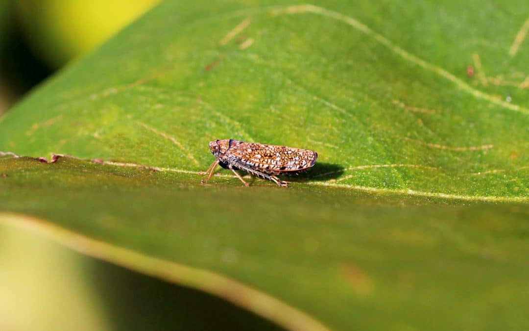
Last year I undertook a photographic invertebrate study of a seemingly insignificant park in London. I was interested in what I would find in a small urban park. I chose Warwick Gardens in Peckham as it was close to my home, making it easy to pop there for a couple of hours each day. My mission was to photograph everything that moved.